In view of the multidisciplinary nature of the Puig Ciutat archaeological project, it was necessary to develop a common platform from which to visualise and interpret the data obtained. In this respect, the platform used was built using the Qgis free software program. Alongside this, the Sig.Arq. program was used to manage the results of the excavations. This program allows you to enter the results of excavations in a spatial data base in a way that is systematic, uniform and georeferenced.
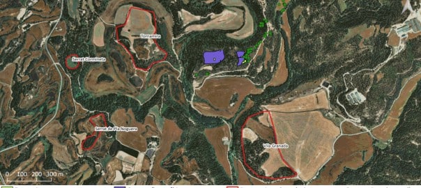
Image: Orthophotograph property of the Institut Cartogràfic i Geològic de Catalunya, accessible on www.icgc.cat.