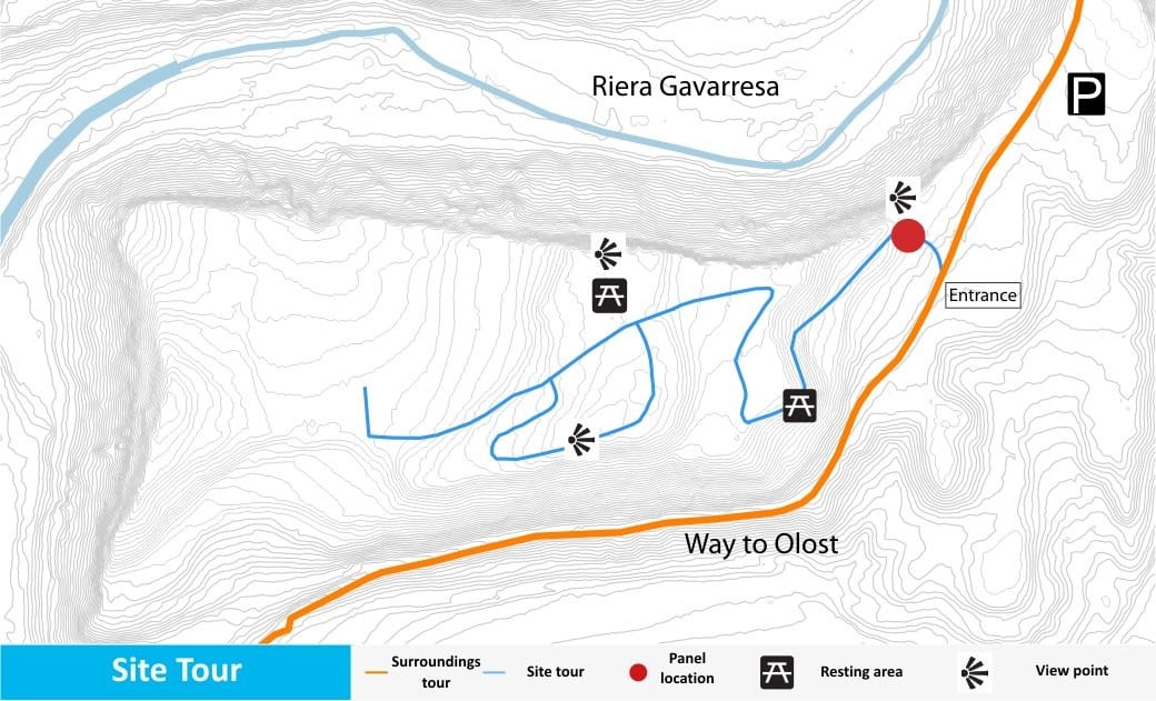
Where is it?
The archaeological site of Puig Ciutat is located in the municipal district of Oristà (Barcelona province). The archaeological site is currently located at the top of an elevated plain 526 metres (1,700 ft) above sea level. It covers a surface area of 5.1 hectares (12.6 acres), distributed over farmland and steeply sloping areas.
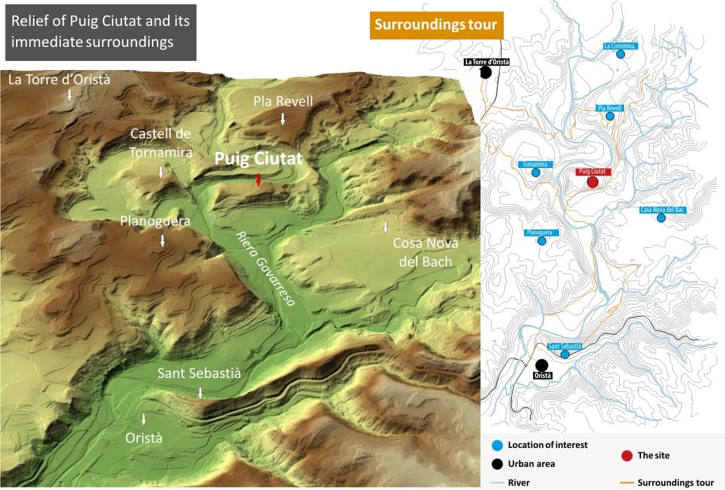
The hill is surrounded by two watercourses, the river Gavarresa and one of its affluents, the river Olost, which make the site very valuable from a defensive and strategic point of view.
What is its historical context?
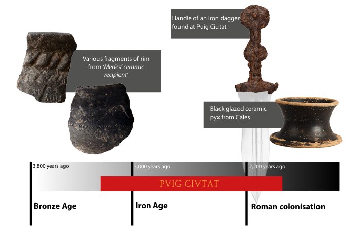
Research has revealed archaeological evidence of different chronological phases that go from the Late Bronze Age or Early Iron Age to the Late Roman Republican Period (mid-1st century BC).
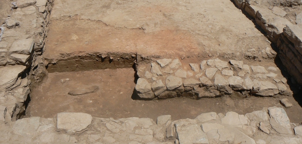
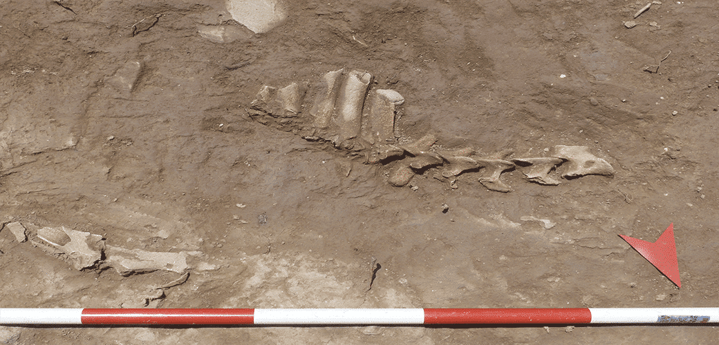
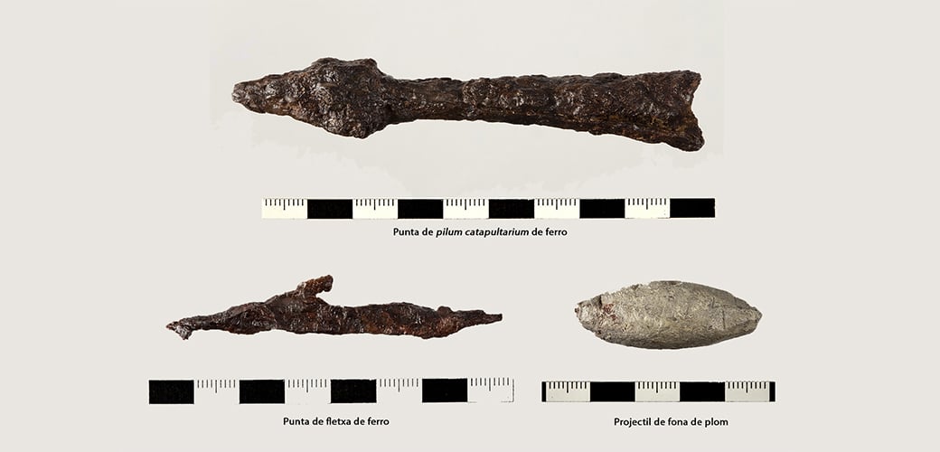
Most of the information we have at the moment relates to the late Roman Republican period. At that time, Puig Ciutat could have played a role as a garrison or military camp (praesidium). At the end of this period Rome’s Civil War between Julius Caesar and followers of Gnaeus Pompeius took place (BC 49 – 44).
How can we visit?
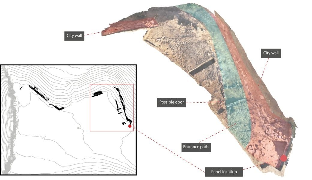
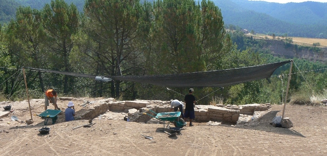
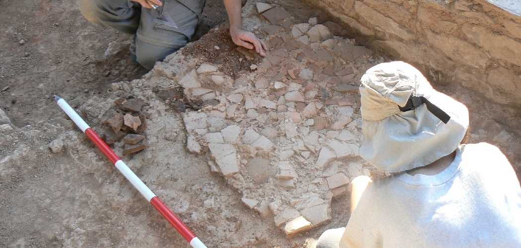
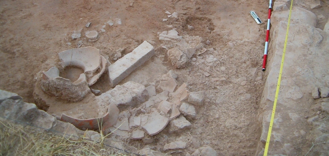
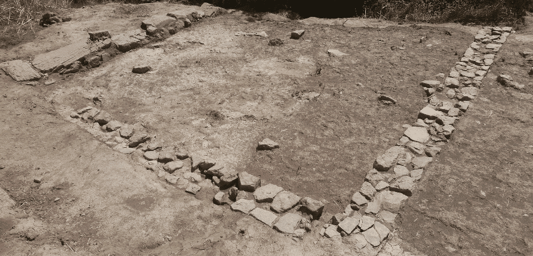
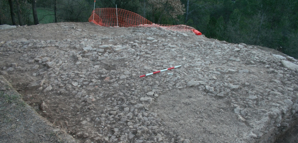
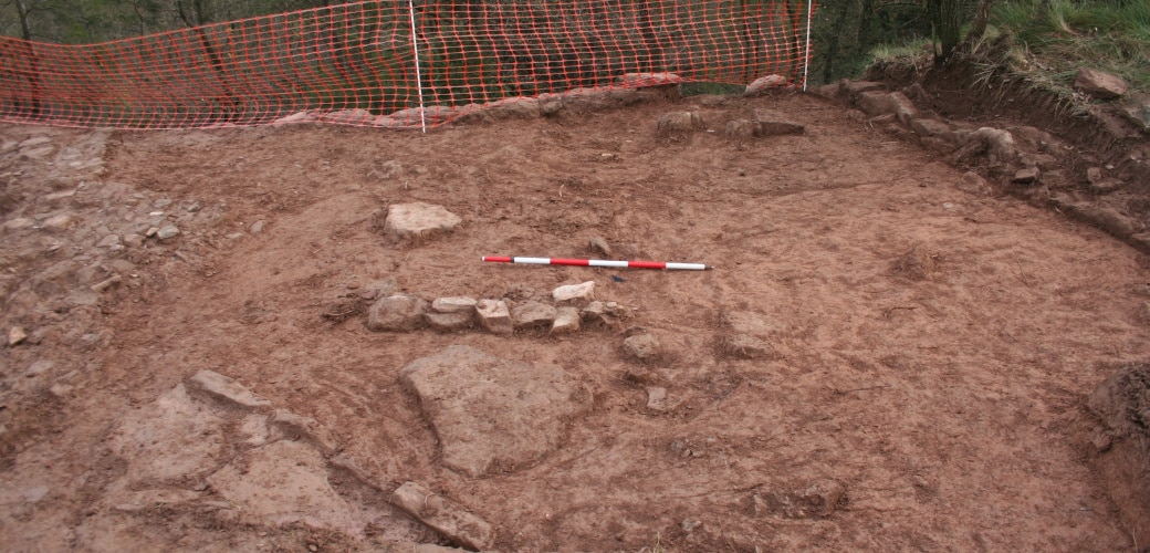
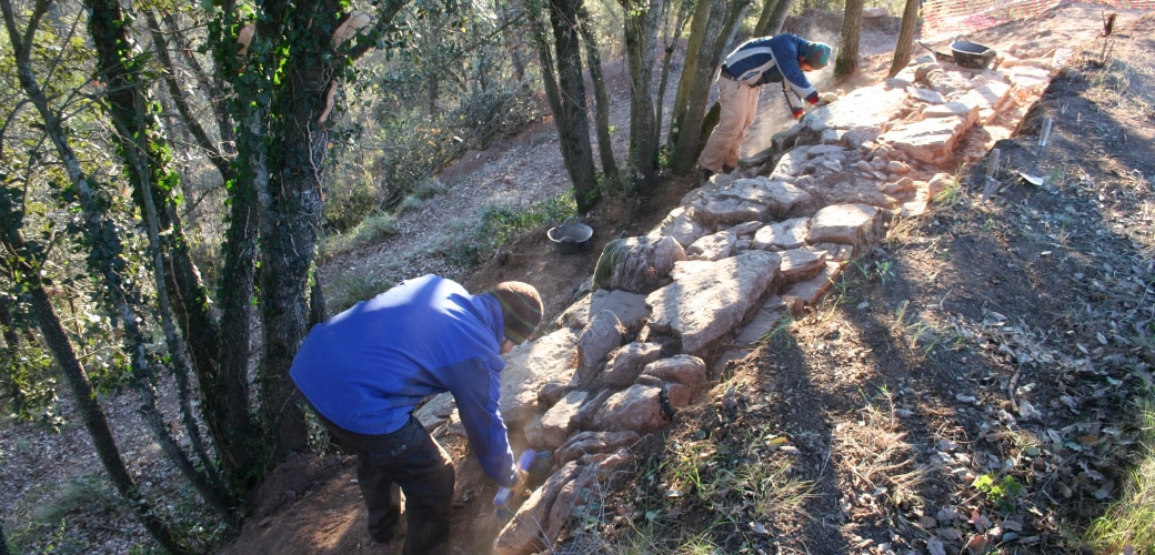
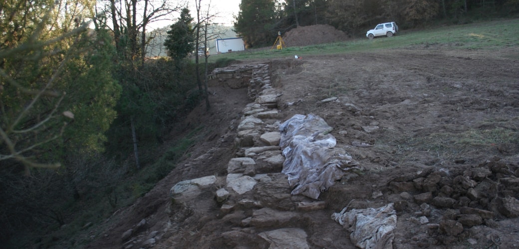
So far only a small part of the Puig Ciutat site has been excavated. The rest of the site is still buried. Two routes have been set up for visiting the consolidated remains:
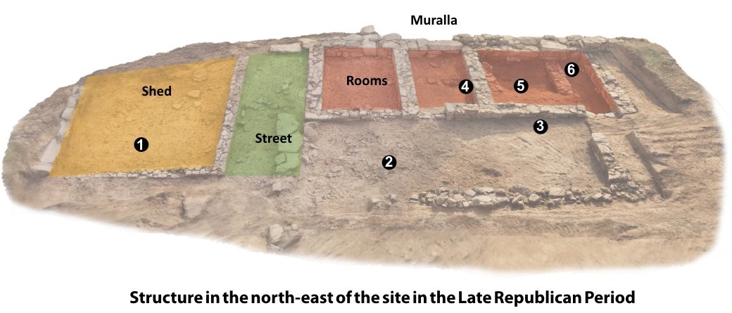
1) A tour of the interior of the site: there are five information panels describing the settlement during the Late Republican Roman Period. The panels have QR codes to complement and enlarge on the information.
2) A tour of the site surroundings: provides a picture of the surrounding area and describes the geographical and natural conditions of Puig Ciutat.
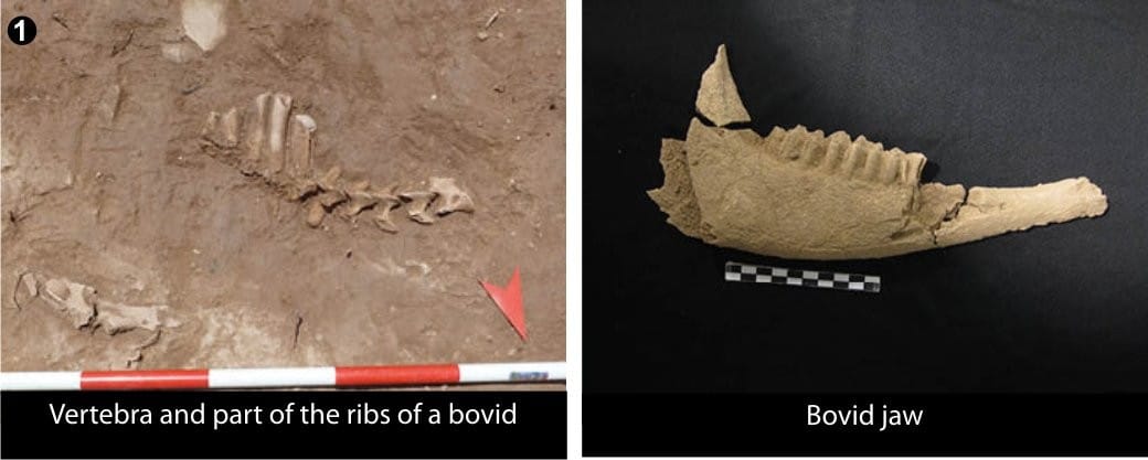
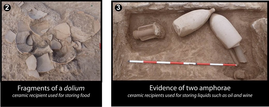
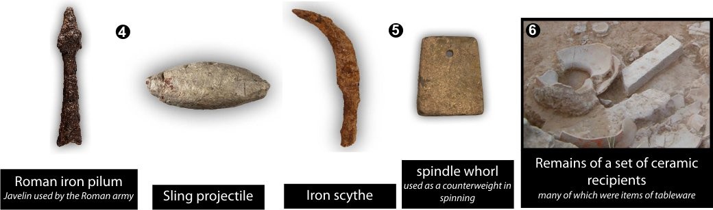
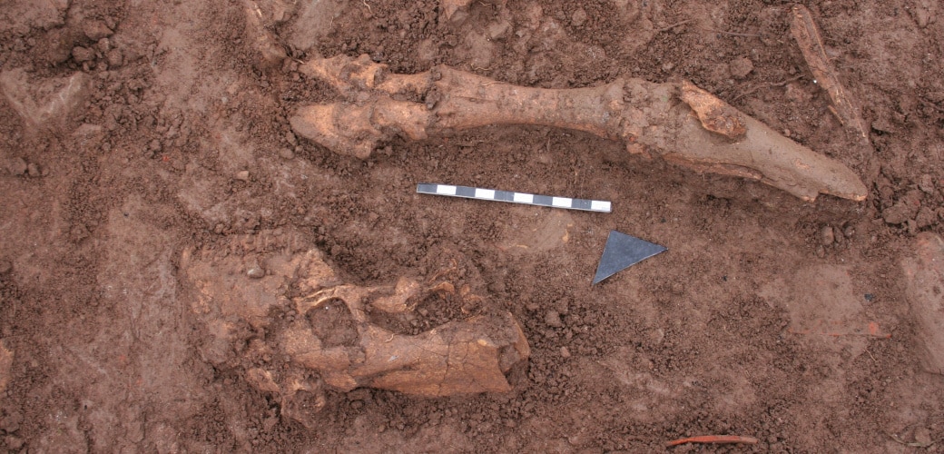
![[left] Various fallen materials (remains of animals, metal objects, etc.) above the living level. [right] Fallen dolium and amphora above the ruins of a ceiling or a first floor](https://www.puigciutat.com/wp-content/uploads/2015/12/foto_7-i-11-copia.jpg)
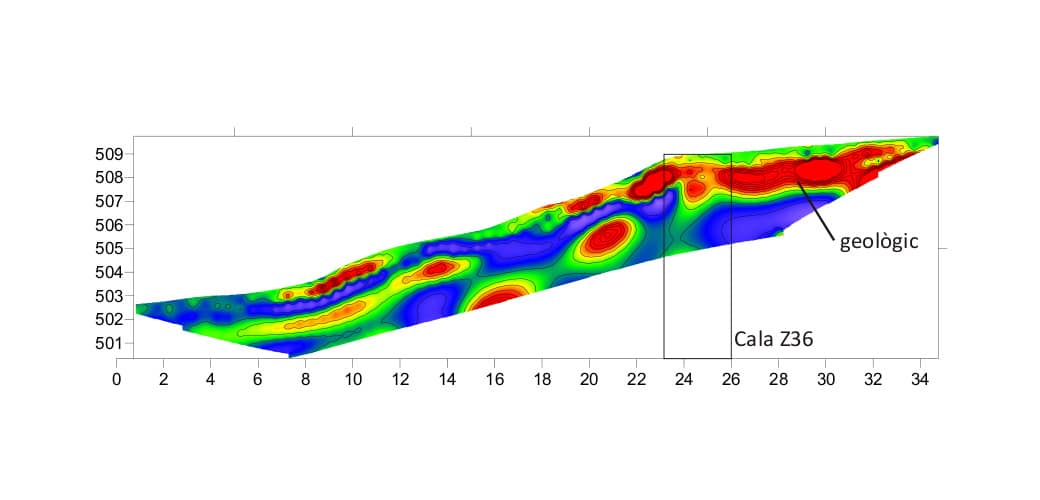
![[left]. Photogrammetric study at the end of the 2014 season. [right] Location of various excavated structures](https://www.puigciutat.com/wp-content/uploads/2016/02/FOTOGRAMETRIA.png)
![[left]. Photogrammetric study and [right] drawing of the excavations at the end of the 2014 season](https://www.puigciutat.com/wp-content/uploads/2015/02/supi_19_fotogr.jpg)
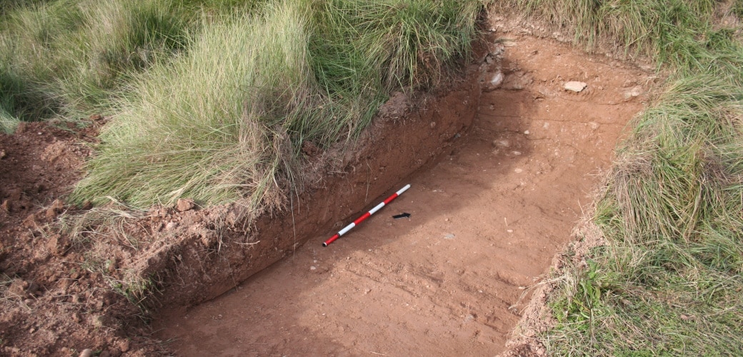
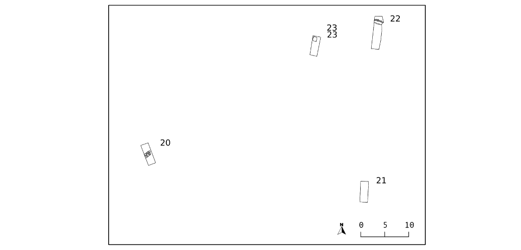
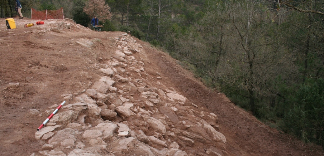
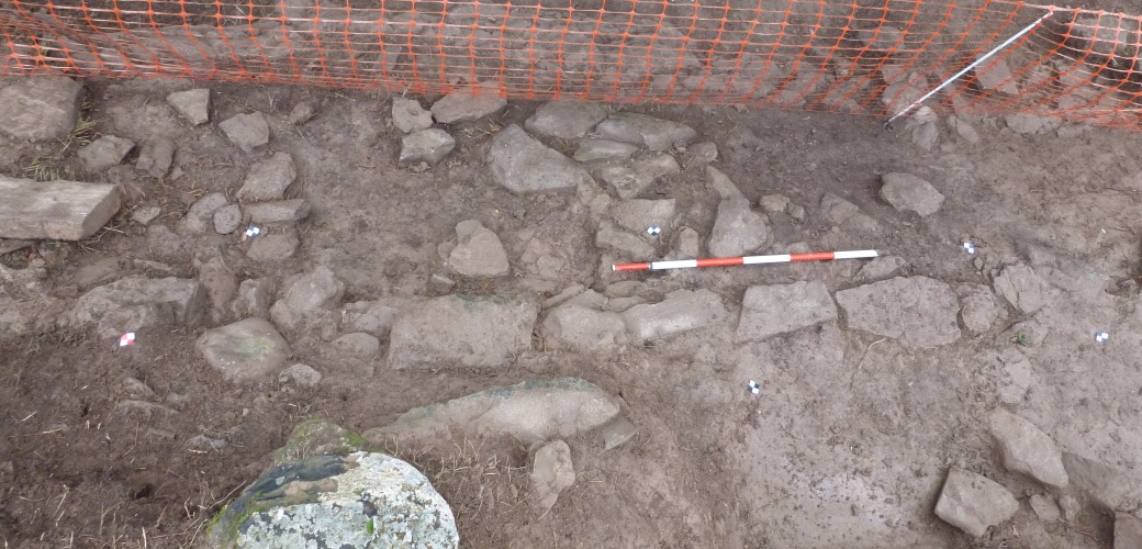
![[left] Survey 20. Section of Late Roman Republican city wall. Survey 23: View of the test trench at the end of the excavation](https://www.puigciutat.com/wp-content/uploads/2015/02/26_39_sm.png)