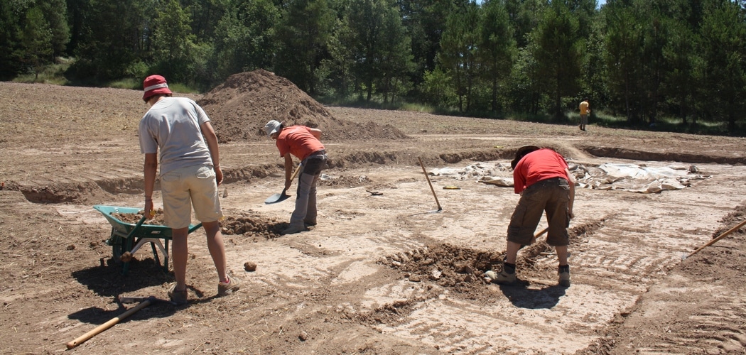
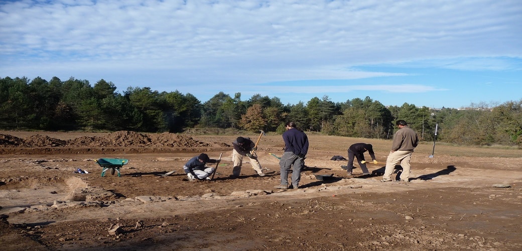
Archaeology, like any science, has its own methodology which is adapted according to the objectives and circumstances of each case being studied. In this respect, the work undertaken on the structures of the present building serve as an example to explain the scientific method applied in Puig Ciutat.
The present state of the excavations does not yet allow an answer to many of the questions hinging on the site. Nevertheless, geophysical surveying has made it possible to focus the excavation in those areas where the presence of built structures has been recorded. Thanks to this strategy, in a short time we have been able to obtain the largest possible quantity of data for drawing up the first interpretative hypotheses.
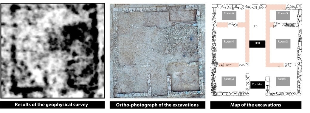
Surveying:
What do we know?
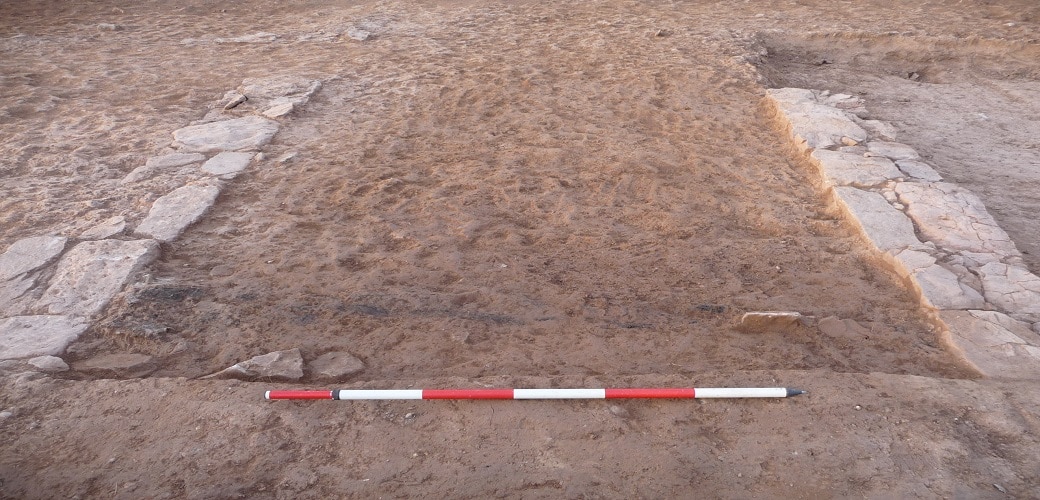
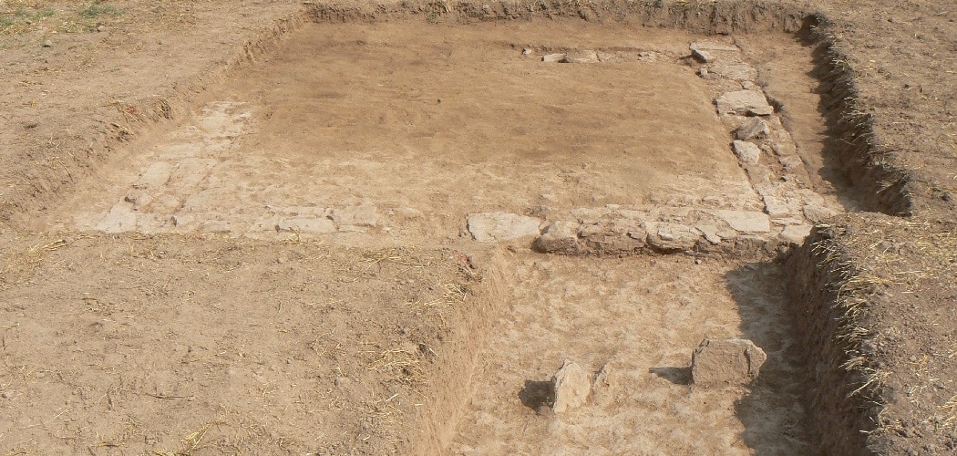
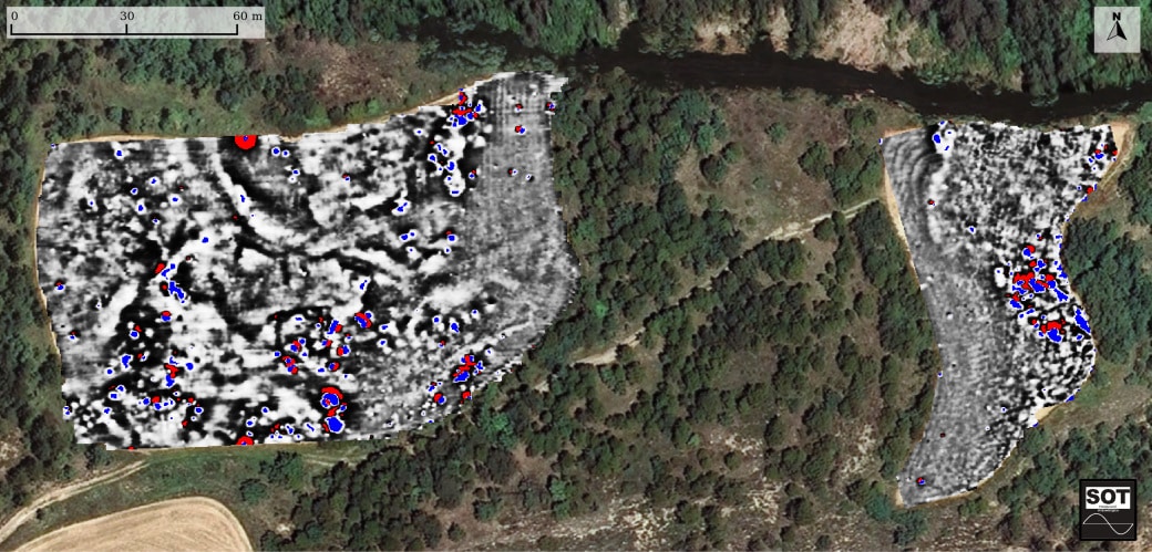
Geophysical surveying has identified the presence of a building in the middle of the agricultural area. Some of the techniques used, such as ground-penetrating radar, have made it possible to define the geometry of the structure and establish its depth about 0.5 metres (20 inches) beneath the surface.
Excavation:
What do we see?
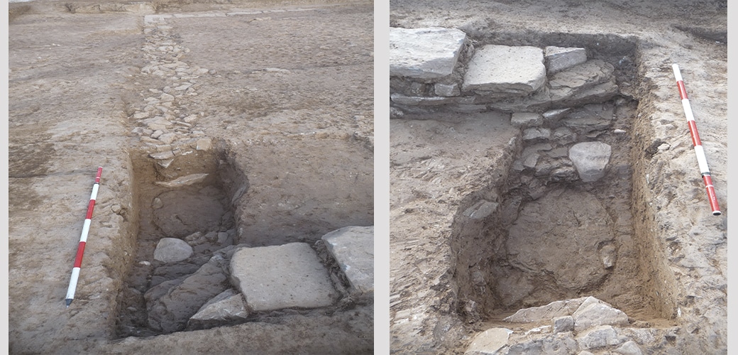
A building measuring 11 x 11 metres with an entrance in the form of a passageway which very probably opened onto a distribution space inside. Two rooms have also been made out abutting the main façade and, finally, a space subdivided into four compartments at the back. The two innermost rooms are of a smaller size.
In the course of the excavation, a large amount of carbon and shattered ceramics have been documented that suggest the building may have been destroyed.
Interpretation:
What do we deduce?
The building is an unusual construction that stands out in the settlement. Its size suggests it could be the residence of the commander or person in charge of the establishment praetorium) or a building with an important administrative function in the same context (principium).
Although at present the data do not offer any more information about its purpose or its destruction, we hope to obtain more results in future work.
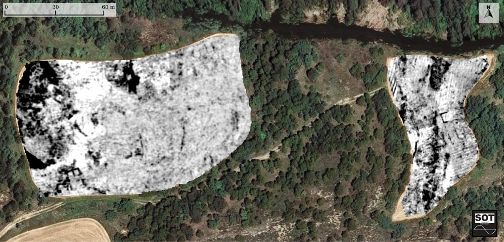
![[left] Drawing of the structures located superimposed on the ground-penetrating radar data. [right] Interpretation of the located structures superimposed on a photograph taken from a drone.](https://www.puigciutat.com/wp-content/uploads/2016/01/Sectors-edifici-11.jpg)