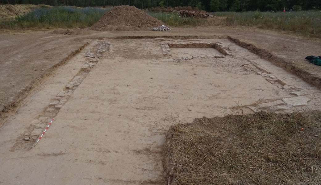
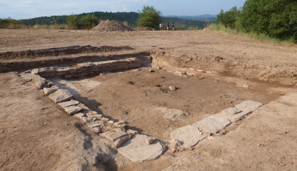
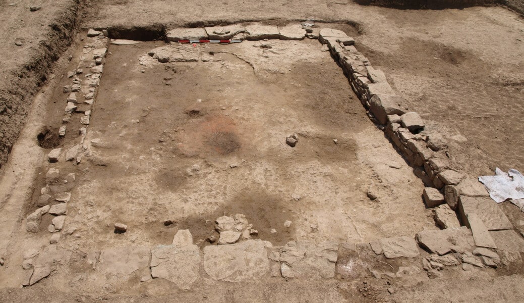
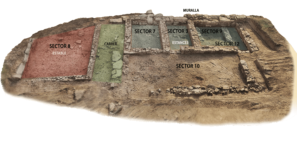
The geophysical survey carried out in the field to the west of the site revealed a building that clearly differed from its surroundings; this was identified as “Building 3”.
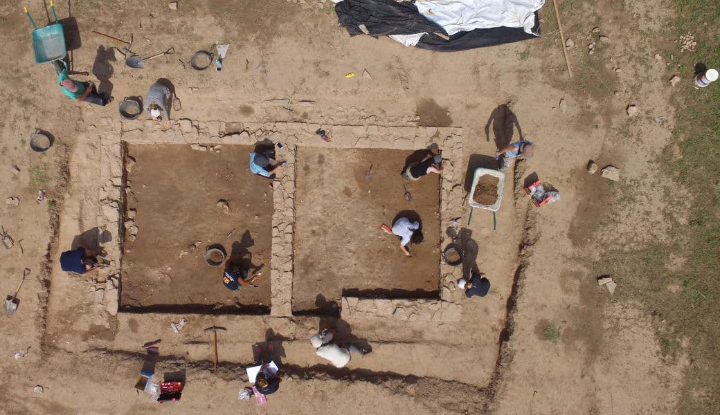
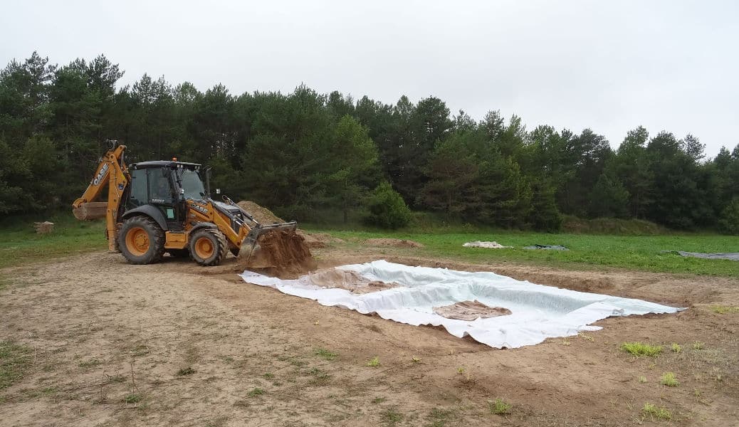
In 2017, it was decided to excavate in this location with the aim of characterising this construction with regard to both its structure and function. In addition, this excavation enabled us to document more of the settlement’s urban structure.
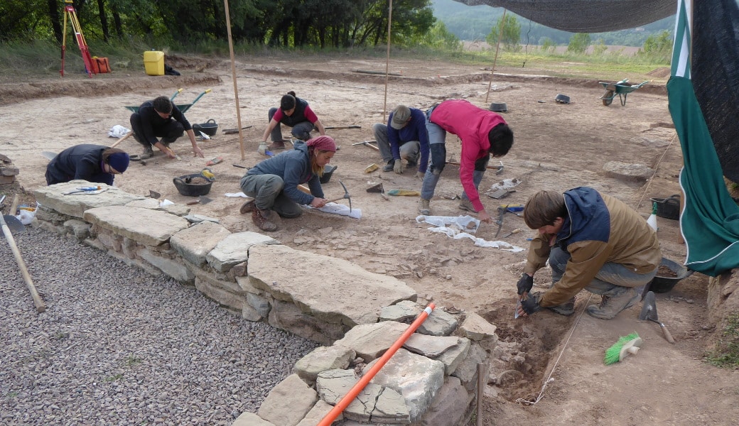
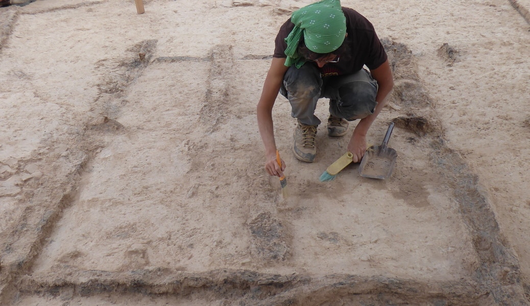
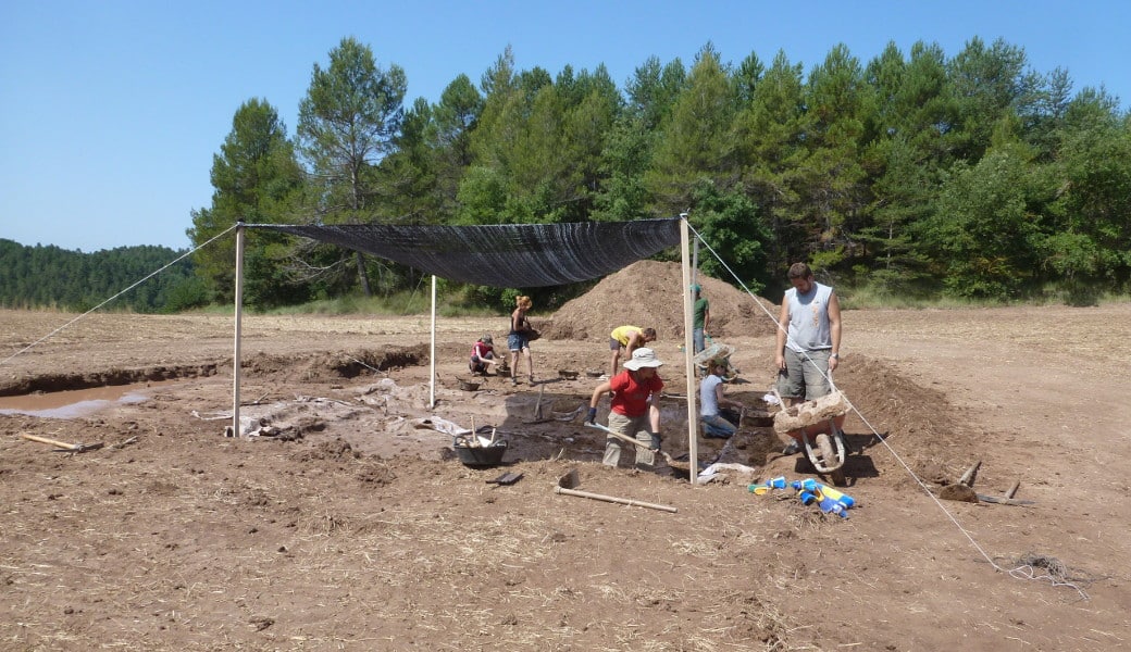
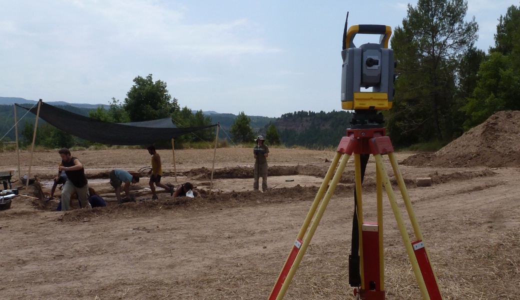
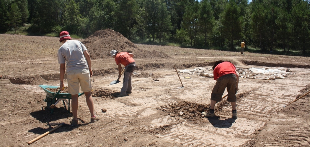
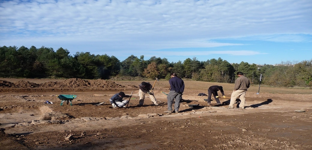
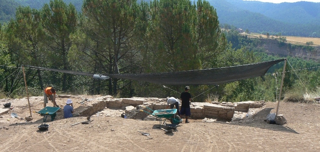
Since that first campaign, every summer this building has been the site of a dig that is used as part of the theoretical-practical course organised for students at Edinburgh University.
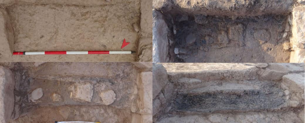
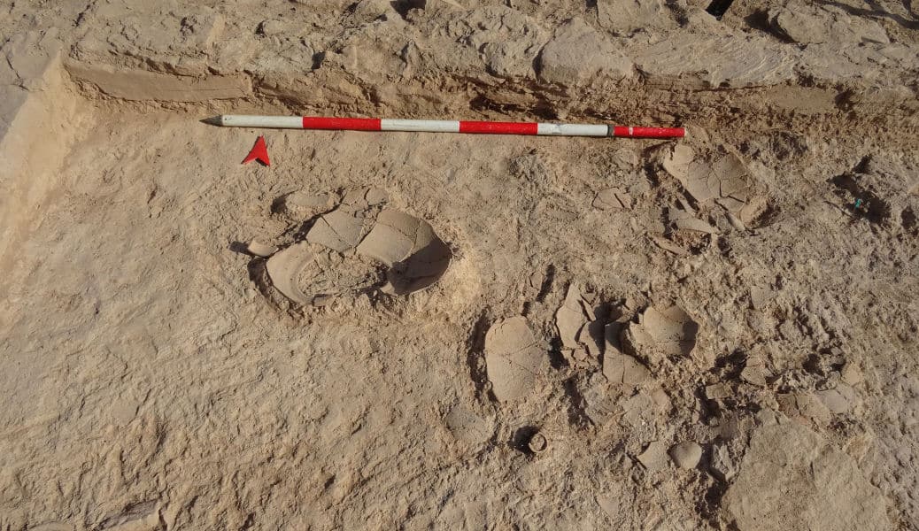
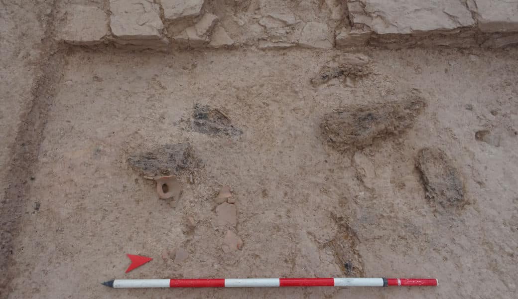
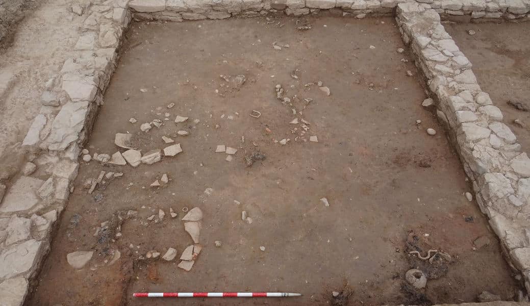
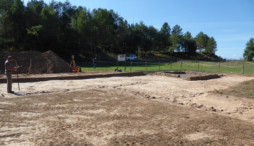
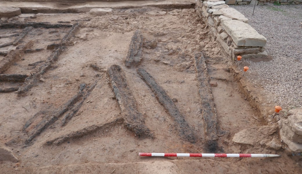
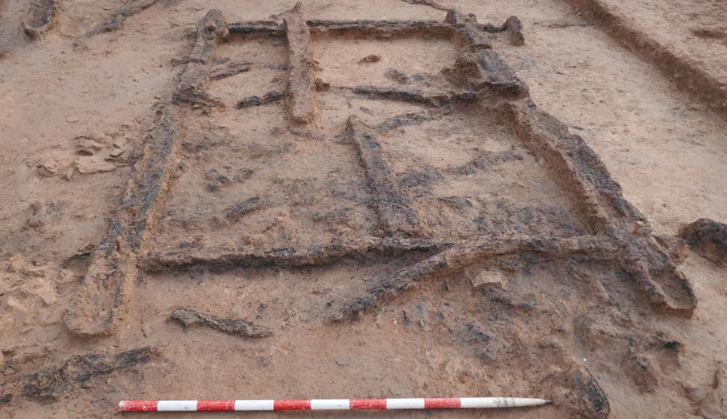
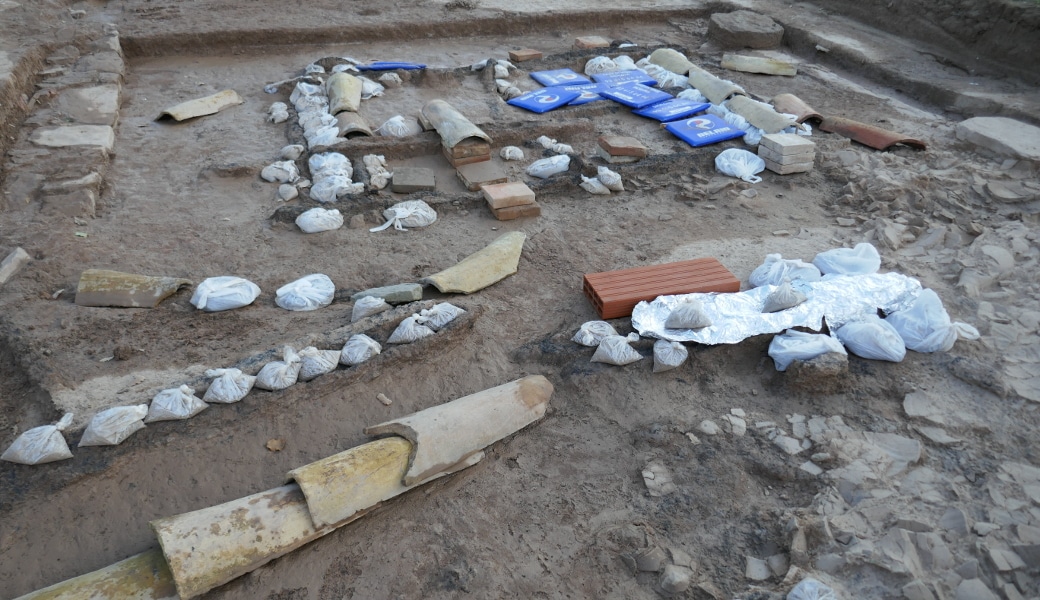
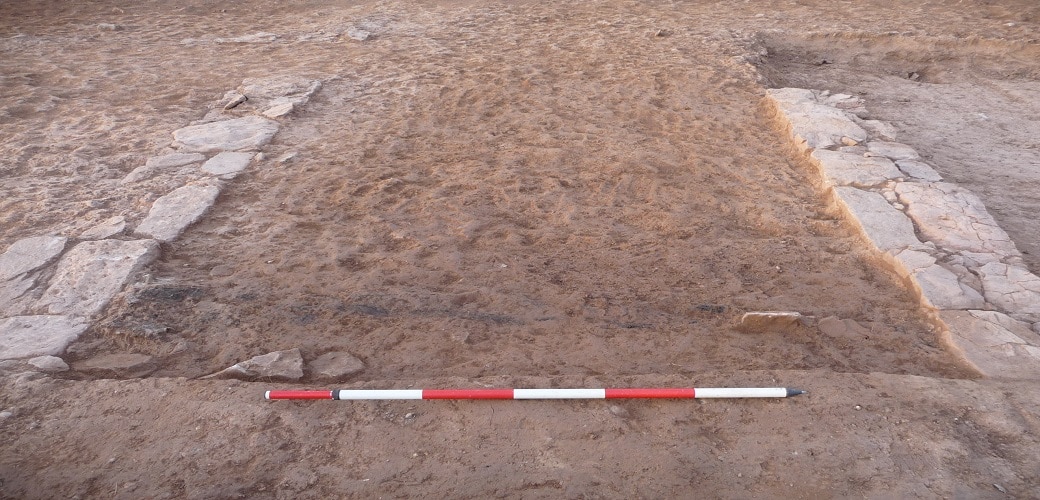
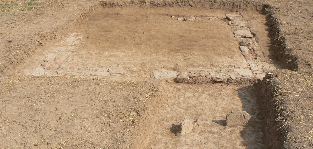
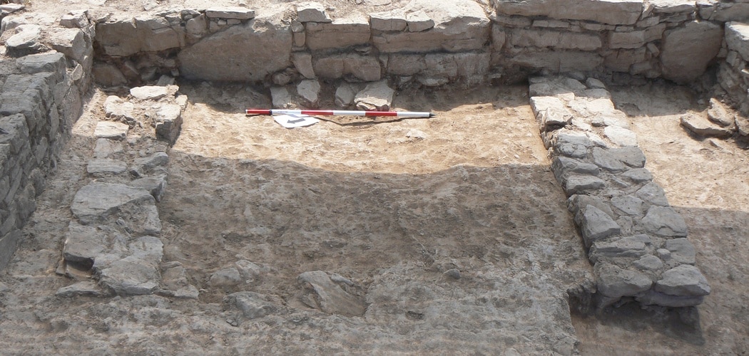
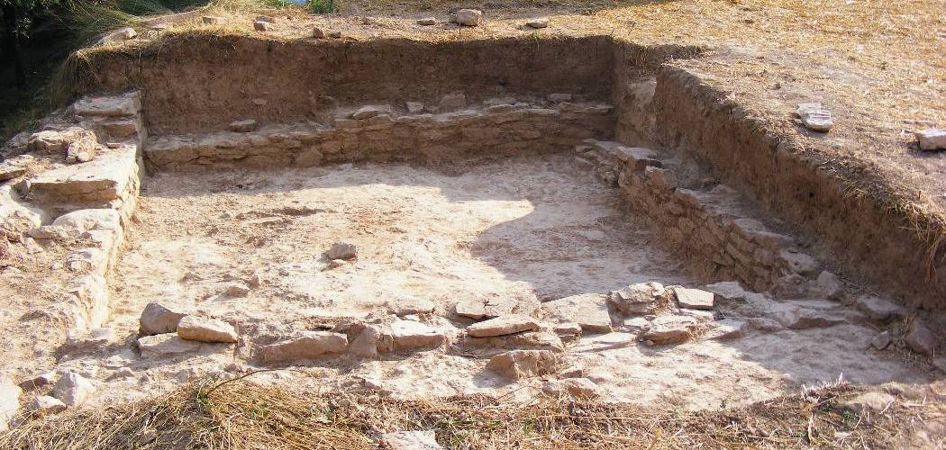
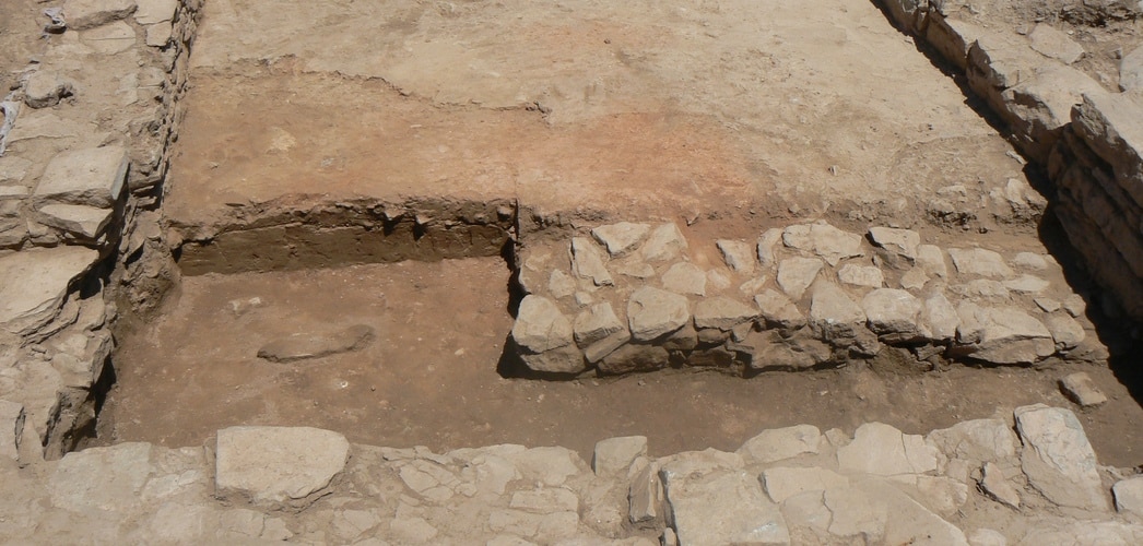
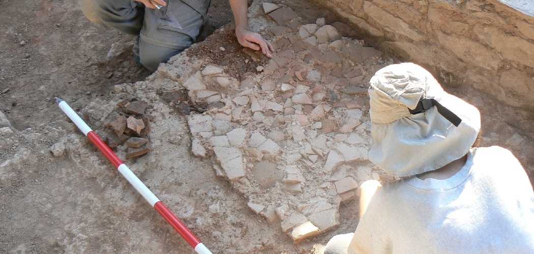
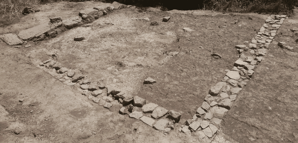
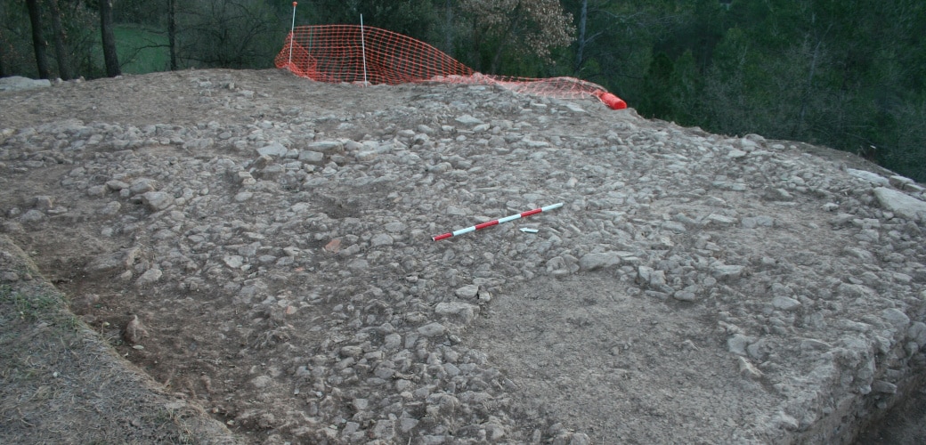
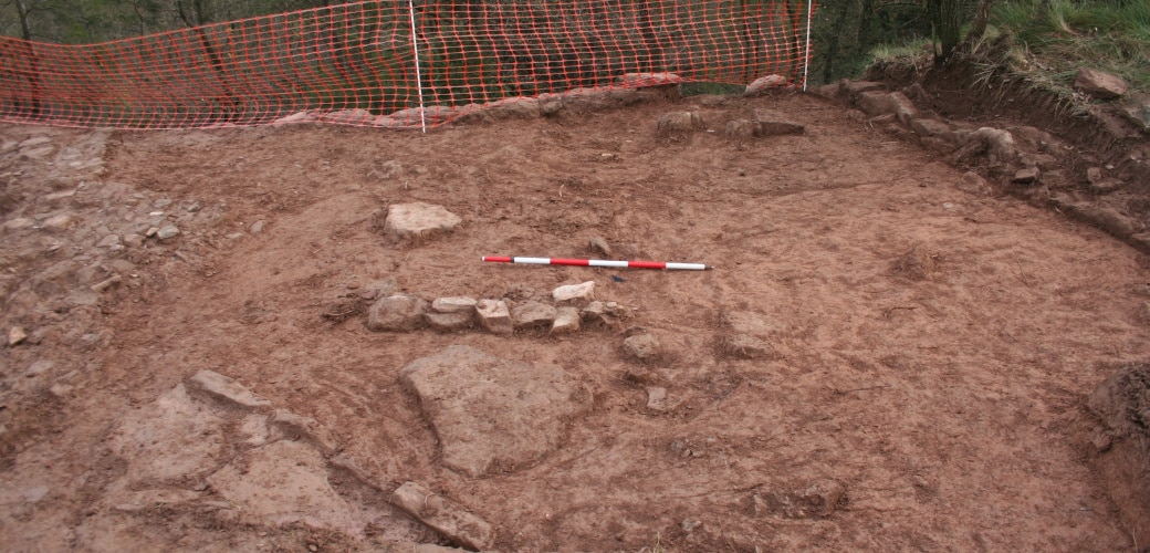
The excavation has, so far, led to the discovery of an almost rectangular building, measuring 8m x 11.5m. It has two rooms in the north and a large area on the southern side, which is still being excavated.
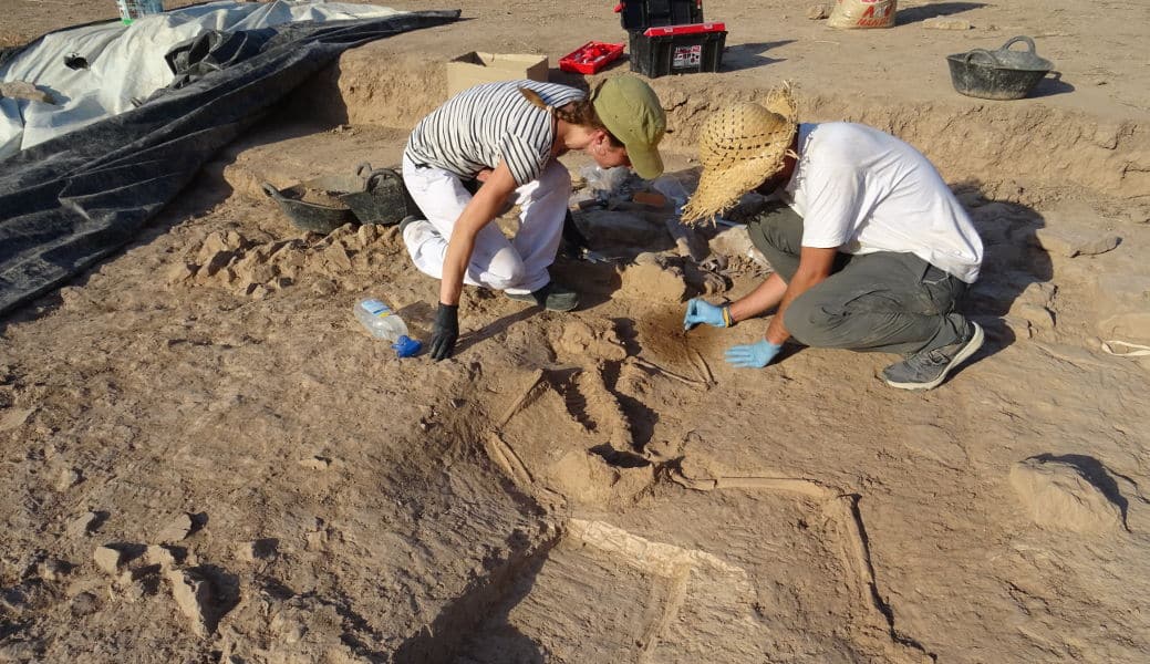
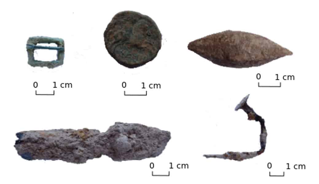
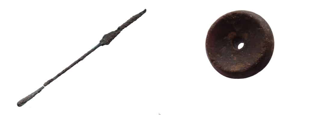
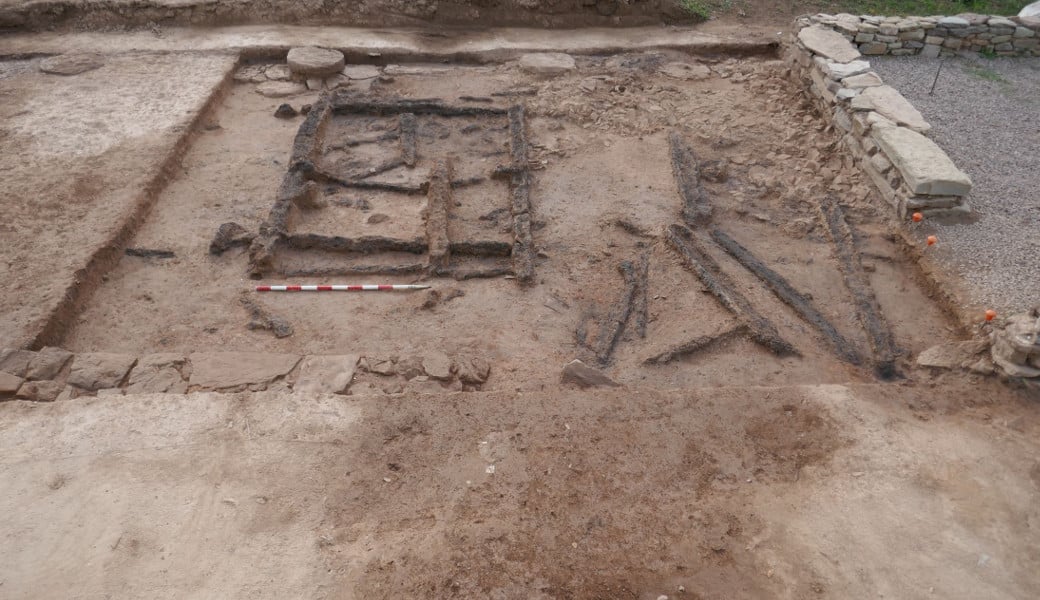
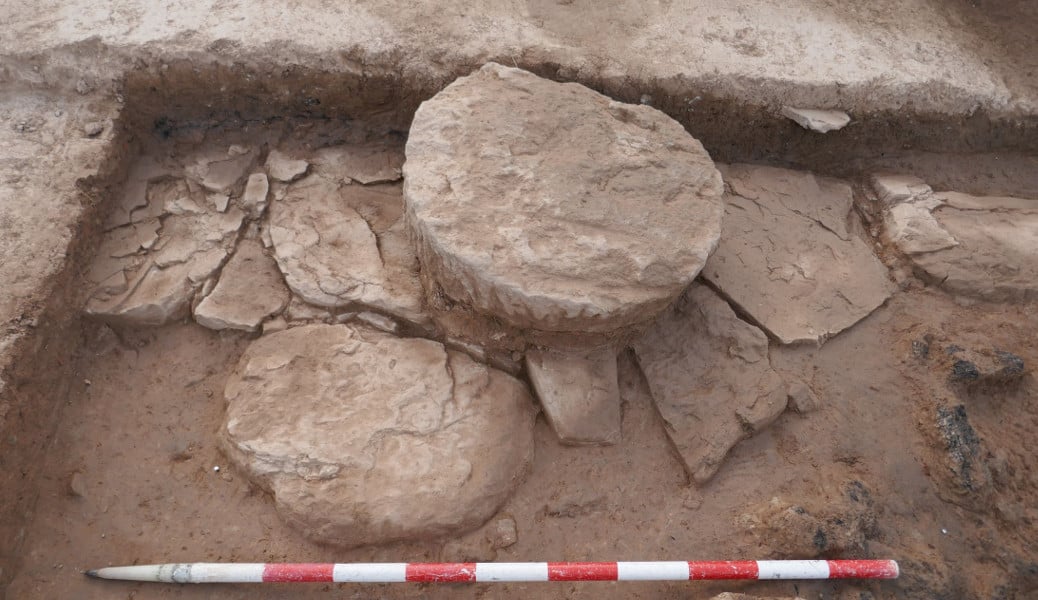
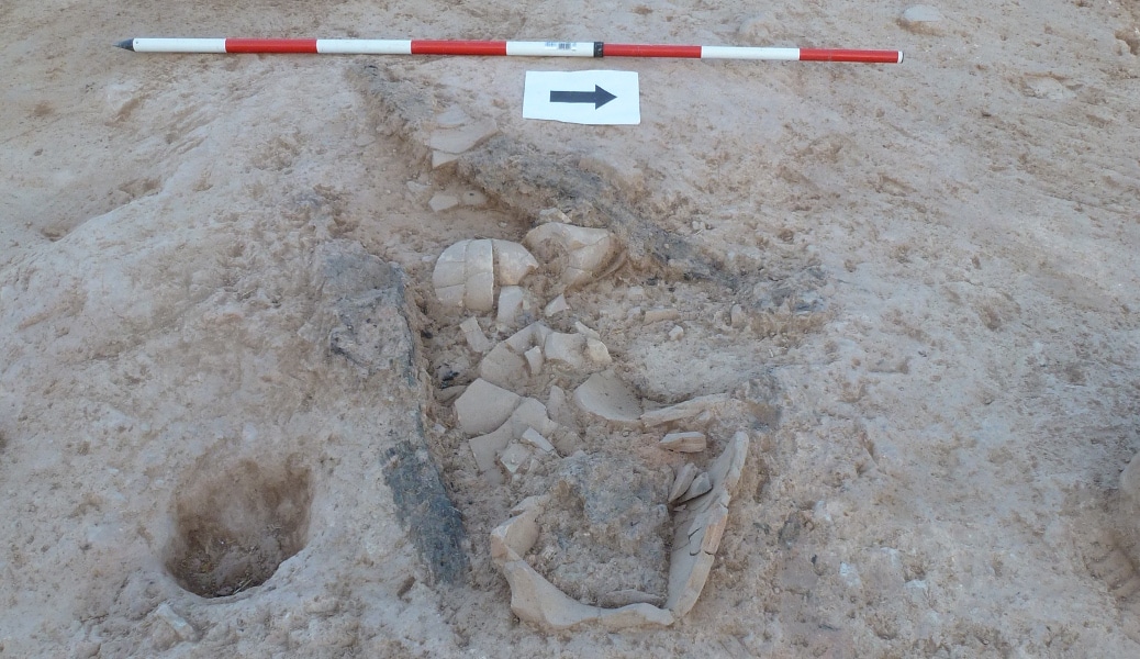
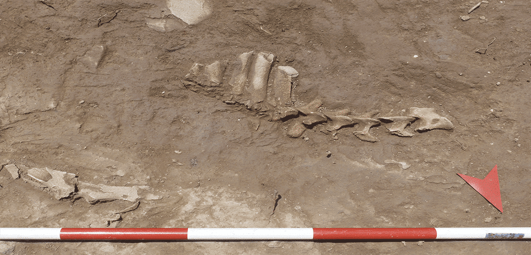
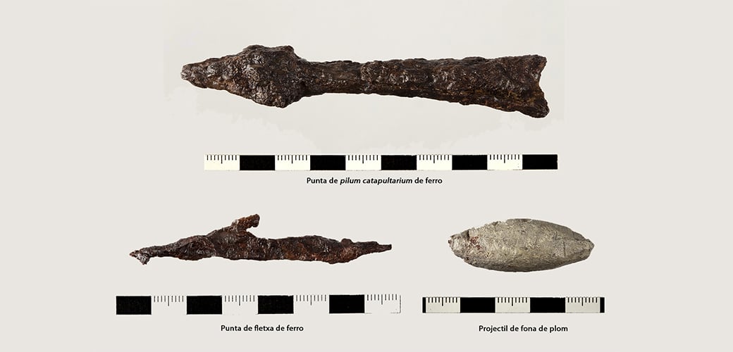
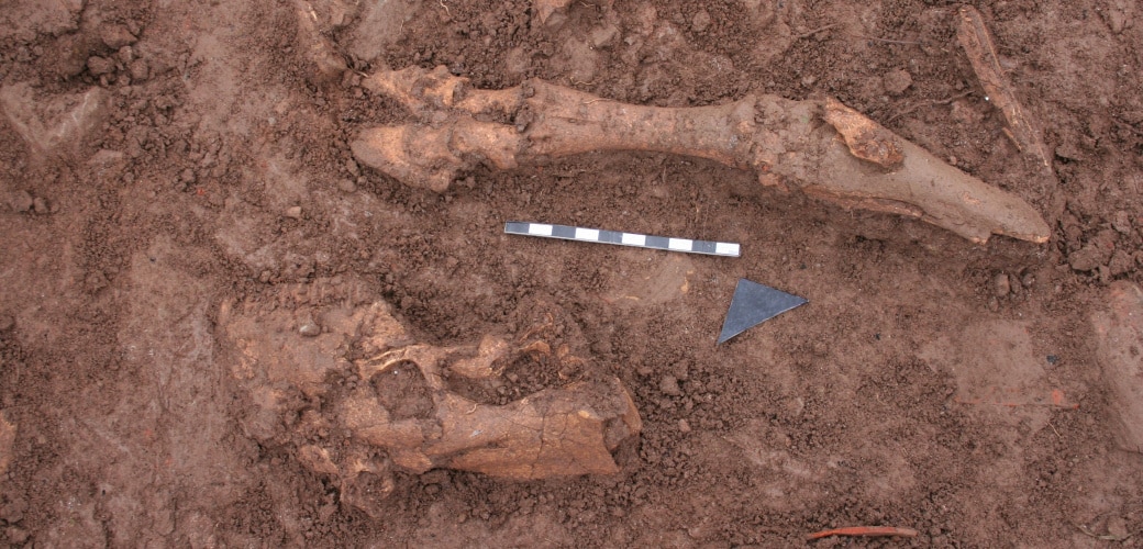
A great deal of material has been found in this building. It tells us about both the life of its inhabitants (pottery ware for drinking and eating, game pieces, coins, etc.), and about its end, as several charcoal deposits show that it caught fire. Among the rubble of the largest room, the first anatomically connected human remains from the settlement have been found.
![[left] Drawing of the structures located superimposed on the ground-penetrating radar data. [right] Interpretation of the located structures superimposed on a photograph taken from a drone.](https://www.puigciutat.com/wp-content/uploads/2016/01/Sectors-edifici-11.jpg)
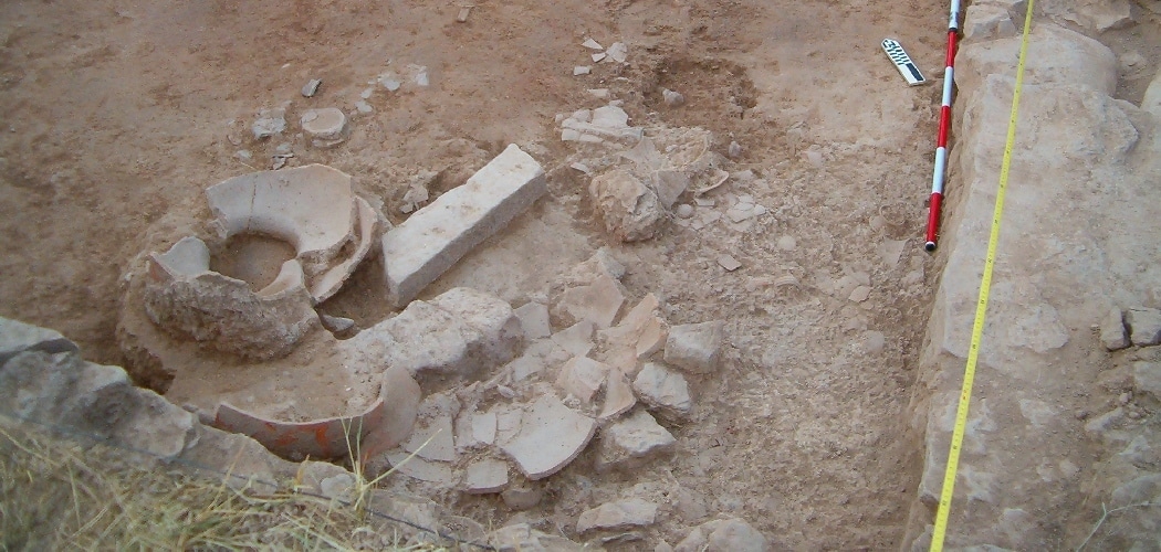
![[left] Various fallen materials (remains of animals, metal objects, etc.) above the living level. [right] Fallen dolium and amphora above the ruins of a ceiling or a first floor](https://www.puigciutat.com/wp-content/uploads/2015/12/foto_7-i-11-copia.jpg)
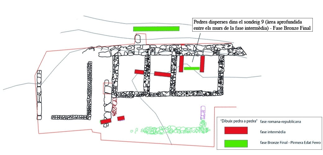
![[left]. Photogrammetric study at the end of the 2014 season. [right] Location of various excavated structures](https://www.puigciutat.com/wp-content/uploads/2016/02/FOTOGRAMETRIA.png)
![[left]. Photogrammetric study and [right] drawing of the excavations at the end of the 2014 season](https://www.puigciutat.com/wp-content/uploads/2015/02/supi_19_fotogr.jpg)
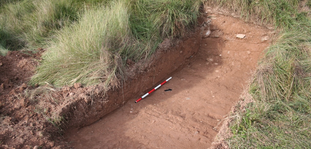
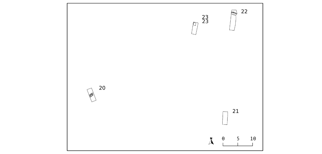
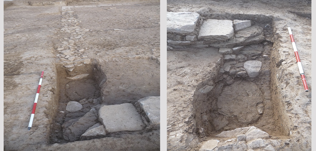
![[left] Survey 20. Section of Late Roman Republican city wall. Survey 23: View of the test trench at the end of the excavation](https://www.puigciutat.com/wp-content/uploads/2015/02/26_39_sm.png)